


Product Details
+
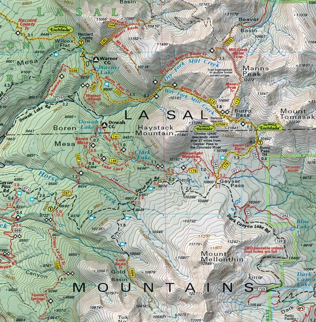
Back Side
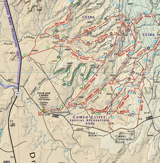
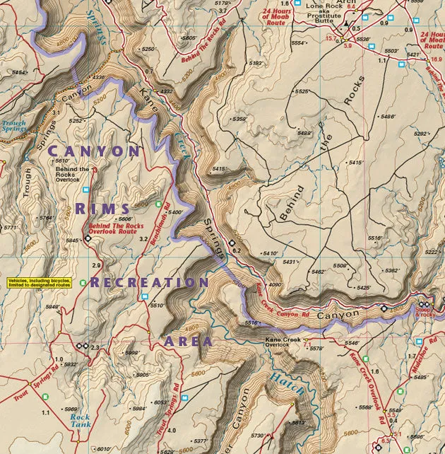
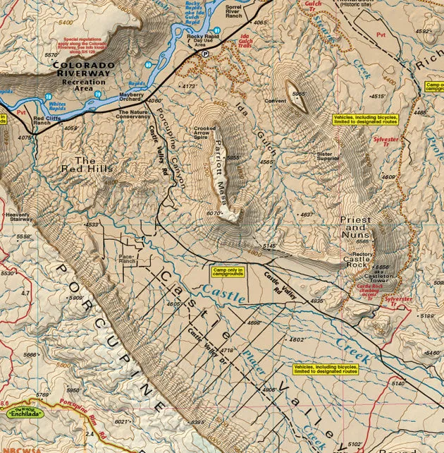
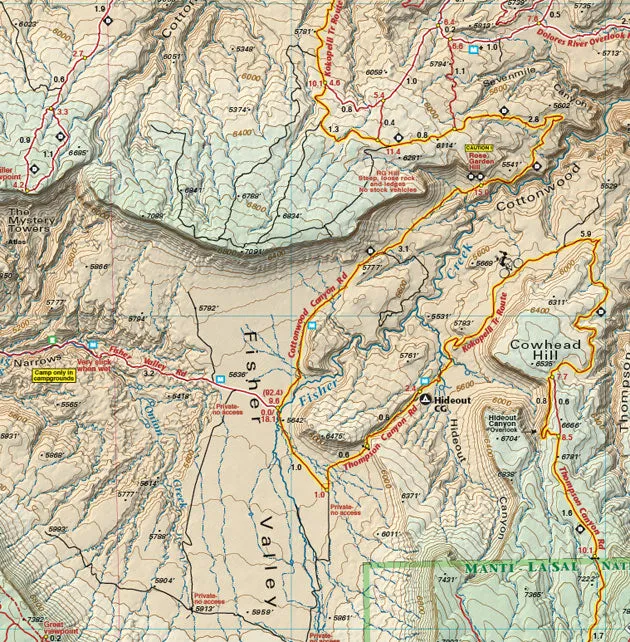
- As of 2006, the map continues south to the northern edge of the Abajo Mountains and the town of Monticello
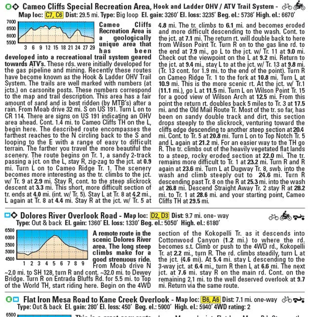
- Trail descriptions for 37 routes for all types of travel, with degree of difficulty, length in miles, and elevation/distance and gain
- Special-use camping information
- Information about the fragile desert, seasonal hazards, map reading, getting lost, etc.
Size
- 39″x 25″ flat
- 8″x 4″ folded
Scale 1:75,000; 1 inch = 1.2 miles or 1.9 km
Contour Interval 80 feet with shaded relief base
Latest Edition 6th – 2020
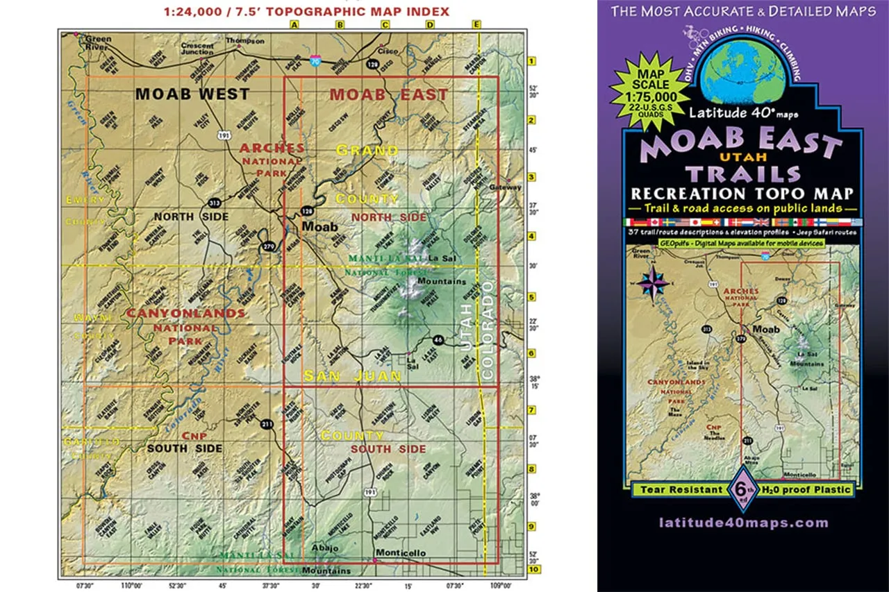
Map Coverage covers all or part of 42 USGS 7.5-minute topographic maps
- North – two miles south of I-70
- South – Monticello, Utah
- East – Colorado state line
- West – 2 miles west of Moab


")


